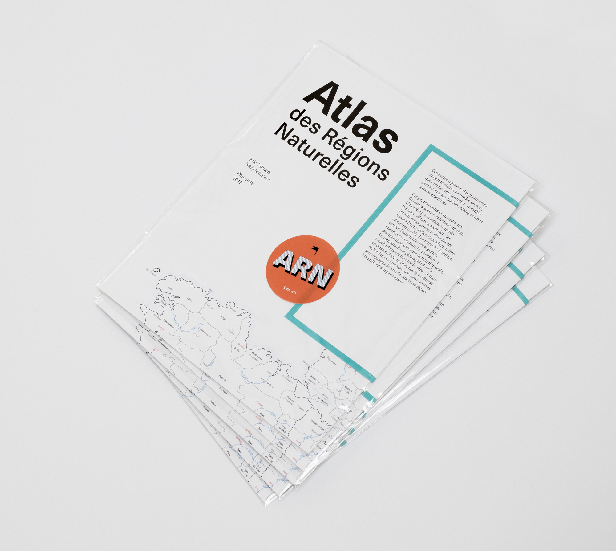
The Atlas des Régions Naturelles (ARN) seeks to create a photographic archive documenting the vast diversity – as well as the gradual standardisation – of the landscapes, and especially the buildings, throughout the French territory. Begun in 2017, it should be completed in 2024.
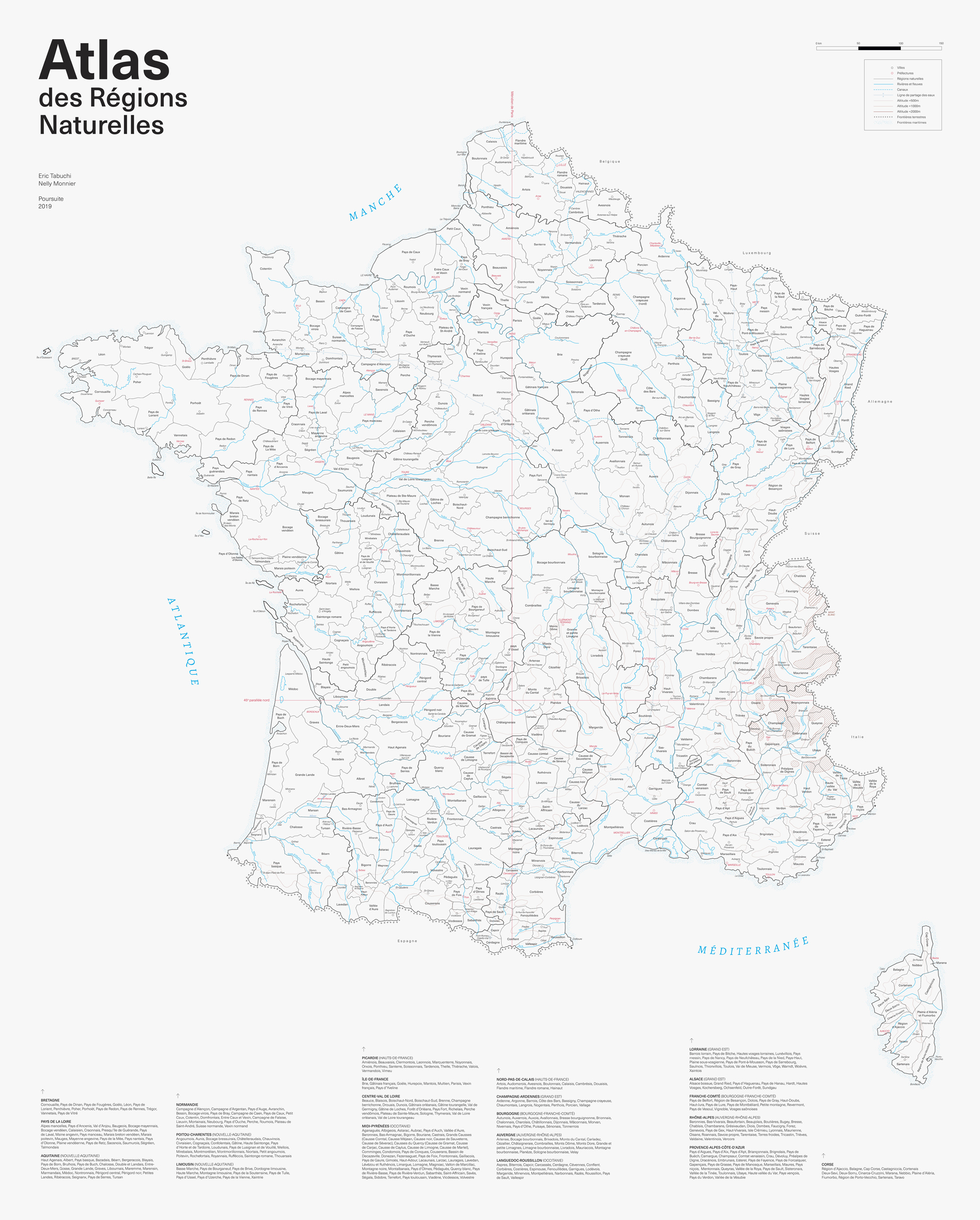
This map represents the four hundred and fifty natural regions of France. These small territorial entities, with frequently indistinct borders, reflect pre-revolutionary history. They predate the current system of départements and have no administrative relevance. However, although it is impossible to trace their exact boundaries, their geological, historical and cultural limits persist by outlining, through a kind of oral tradition, the contours of a geography whose vivacity remains quite real. Thus, Semur-en-Auxois, Sucy-en-Brie, Bourg-en-Bresse and Verdun-en-Lauragais have retained in their toponym the name of the former region to which they belonged.
After experimenting, the web that these countries weave, due to their reduced dimensions, their own geological characteristics, as well as the emotional bond that it is still possible to maintain with each of them, has proved to be the most suitable for the realisation of such a project. This map which delineates all of the natural regions across the French territory is thus the document of reference of the ARN.